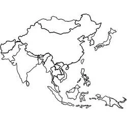
Map of Asia with country names coloring page

Printable Coloring Pages – coloringcollection.com
A large outline map shows the continent of Asia divided into countries such as Russia, China, India, Iran, Japan and many others, each labeled with its name and a population number. Borders are drawn with simple bold lines while country names appear in handwritten style lettering. This makes it easy to color each country a different shade to study the geography of Asia. Kids can use the numbers as a fun way to compare country sizes while coloring.
At a glance
- Detail level
- Simple
- Suggested age
- 9-12 years
- Print format
- A4 / Letter, portrait
- Dimensions
- 750 × 763 px